Skip to content
Spain
April 27, 2024
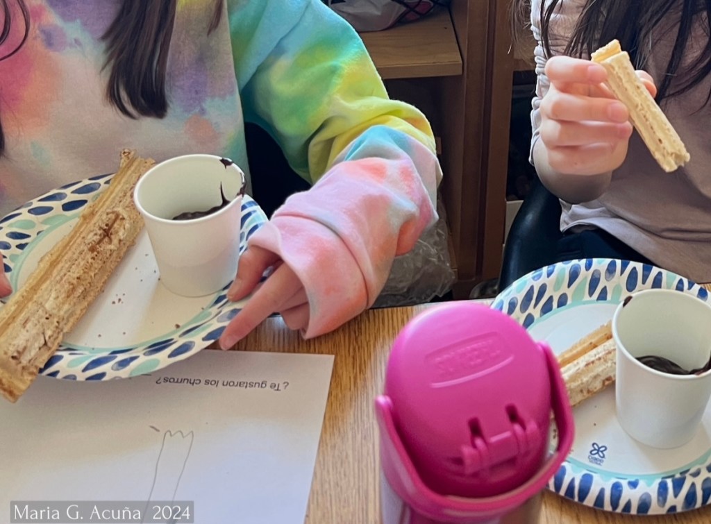
Making Churros with your Students. Not Fried! (Yes! Even Gluten free, Egg Free and Lactose Free!)
January 29, 2024
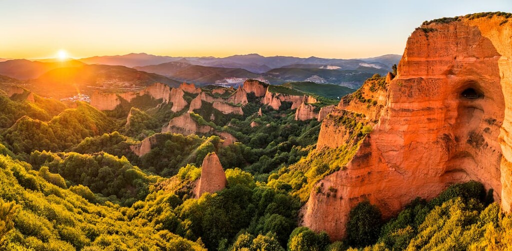
Geography of Spain / Geografía de España
December 27, 2023
The Autonomous Communities of Spain / Las Comunidades Autónomas de España
Subscribe
Subscribed
Alphabet Space
Sign me up
Already have a WordPress.com account?
Log in now.
Alphabet Space
Subscribe
Subscribed
Sign up
Log in
Report this content
View site in Reader
Manage subscriptions
Collapse this bar